I am greatly intrigued by the industrial foundation of Western civilisation. Many great engineering wonders have been wrought over
the past several centuries. One of these wonders is the diesel locomotive and the train, which represent the most efficient system
of land transport that is known.
My intention is not to expound the technical aspects of trains, which can be surprisingly complex, but rather to capture
the raw beauty of trains in action, within their industrial setting, through digital photography. Hopefully, this small collection
of images will do the intended job.
All of these images were captured with a Nikon D100 camera and automatically processed from the RAW data using
the script described in my associated article.
Fostoria Rail Scenes
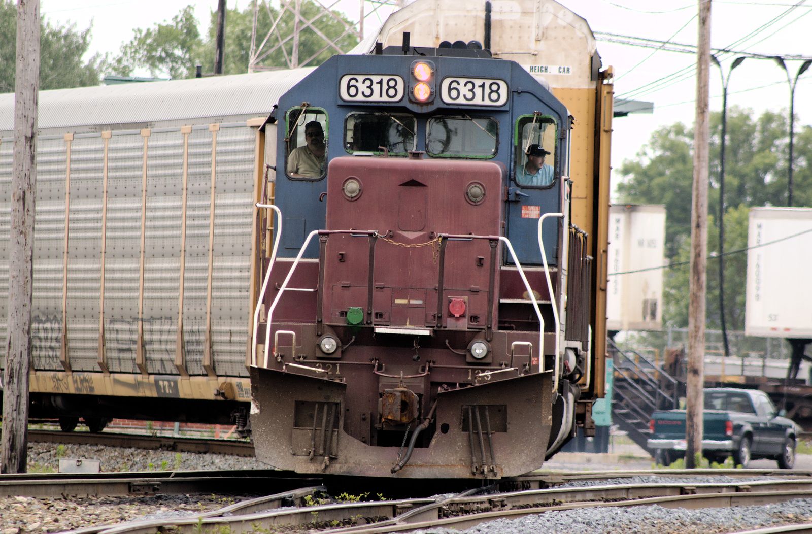
The town of Fostoria, OH is the train watching mecca of the Midwest. There is virtually a non-stop rail action to be found here.
Although the town has kindly constructed a railfan park
for safe viewing, a lot of visitors, including myself, prefer to roam the public spaces to capture the action. For a track layout of Fostoria
consult this railfan link.
(Click any thumbnail to view the full-sized image. Best viewed at 1920x1080.)
Blasting across S. Main St. on the CSX line. The former Amtrak station is the building at left.
CSX westbound under overcast skies with fog.
A broader view of the previous image to capture the diamonds.
An eastbound pounds the diamonds on the CSX main. It's a cold though very bright winter day.
A southbound CSX turning west across Columbus Ave. at the Fostoria diamond.
A wider view (shorter focal length) of the previous image.
Another CSX southbound just before the NS crossing diamonds near Columbus Ave.
An eastbound BNSF on the CSX tracks just east of S. Main St.
Another CSX southbound is about to cross the NS line near Columbus Ave.
A long zoom capture of a westbound BNSF on the CSX main looking east through the signal thicket from S. Main St.
I relax the zoom lens a bit from the previous image to capture the train and another rail fan as well. It's a very bright, and cold, winter day with long shadows.
A Norfolk Southern heads west on the NS main. The view is looking east from S. Main St. with the former Amtrak parking lot seen at the right.
A UP barreling eastbound on the CSX main as I look west from S. Poplar St. The former Amtrak station is barely visible at the right.
An eastbound CSX together with another westbound both pounding the NS crossing diamonds.
A westbound UP pulls mixed freight on the NS main. The NS Blair yard is just off to the right. The view is looking east from just before S. Town St.
With looming grain silos in the background, an NS coal train roars east as it crosses the CSX main.
Westbound NS autoracks shot from the edge of the former Amtrak parking lot. Note the close proximity of the residential neighborhoods.
On a heavily overcast winter afternoon, an eastbound NS train rounds the bend at Poplar St.
Water Level Route in Ohio
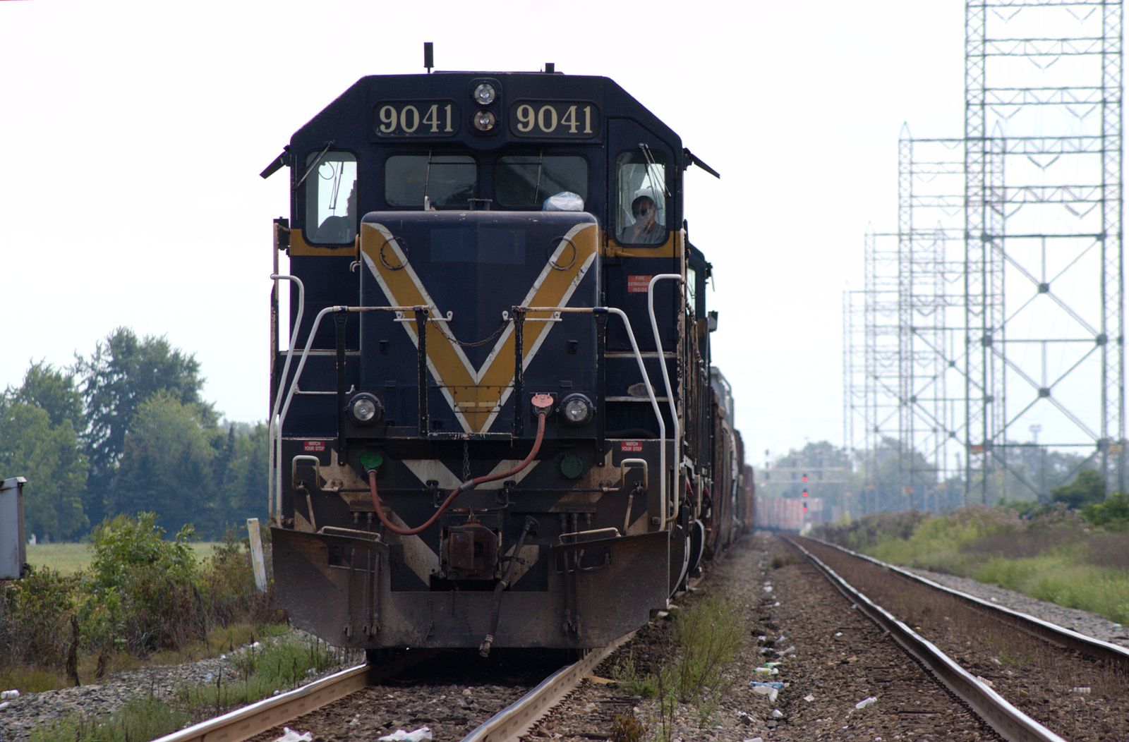
A busting highway of steel that shunts goods and materials from the US east coast to Chicago is known as the Water Level route.
This train line passes through northern Ohio and the area is just a relatively short hop from my home in Detroit. Consequently I have
a habit of visiting on occasion. The route is owned by Norfolk Southern railways although other carriers have trackage rights. (Click
any thumbnail to view the full-sized image. Some location coordinates are given. Best viewed at 1920x1080.)
NS TOFCs speeding east at Drouillard Rd., east of Toledo.
Coords: 41.608738310316134, -83.49202818165874
NS racing east. Same location as previous image.
An NS freight beginning to pull west. At Drouillard Rd. with I-280 overpass in the background.
A northbound CSX(?) waits for the signal. This is not the Water Level route per se but this train will diverge onto it further north.
Coords: 41.60869200580062, -83.49580238898443
Another NS westbound begins to pull. At Drouillard Rd. with I-280 overpass in the background.
An NS coal train speeds east under the signal bridge through Toledo. The location is at S. Westwood Ave.
Coords: 41.63428978653602, -83.60664978077918